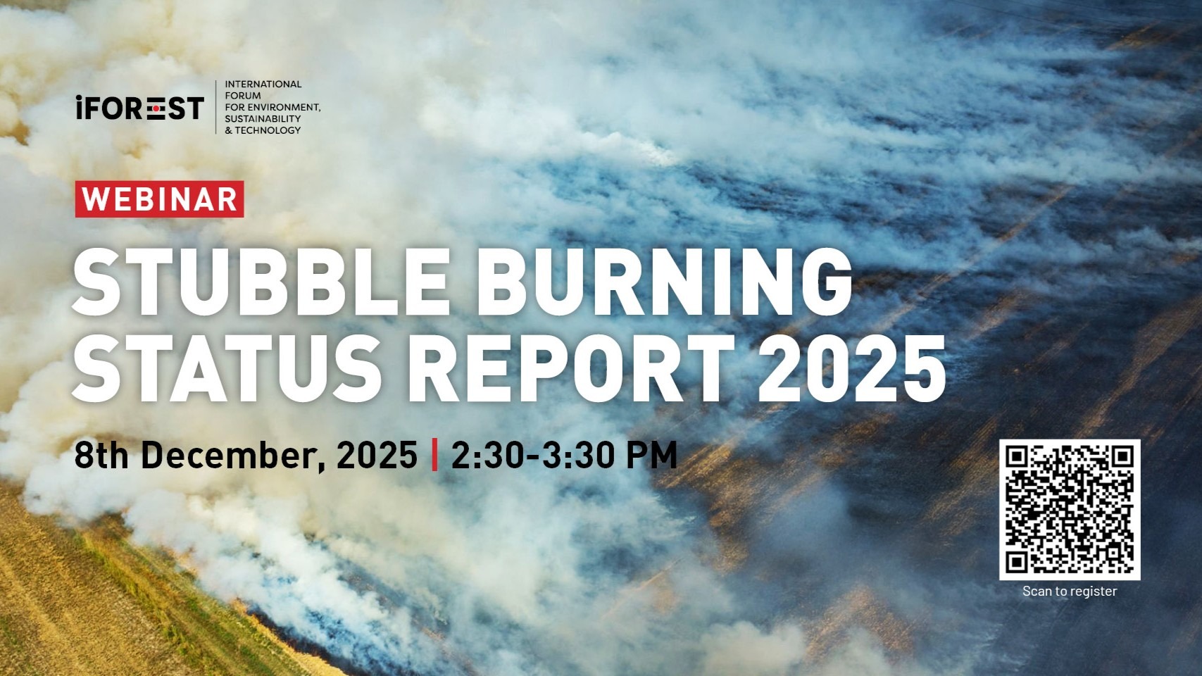
Stubble Burning Status Report
Dec 08, 2025 | 2:30 pm - 3:30 pm
Online
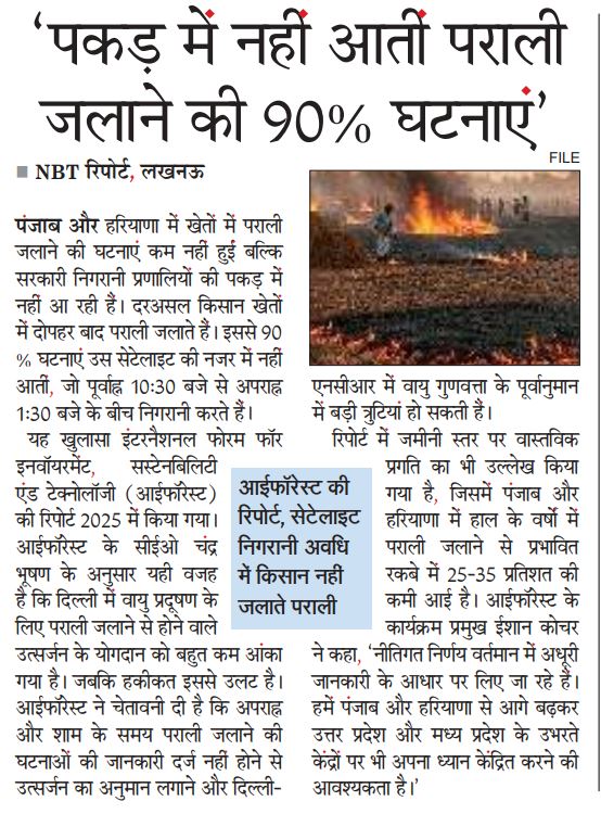
The Stubble Burning Status Report 2025 shows that while official government data suggests a dramatic 90% decline in farm fires in Punjab and Haryana, this reduction is largely a result of limitations in the current monitoring system run by the Consortium for Research on Agroecosystem Monitoring and Modeling from Space (CREAMS) of the Indian Agricultural Research Institute (IARI).
The report presents India’s first-ever multi-satellite, multi-sensor assessment, combining MODIS (Terra and Aqua satellites), VIIRS (Suomi-NPP satellite), Sentinel-2 Multispectral Instrument (MSI) burnt-area mapping, and 15-minute geostationary observations from the Spinning Enhanced Visible and Infrared Imager (SEVIRI) on Meteosat 8 and 9.
The report demonstrates that the CREAMS monitoring protocol—based primarily on polar-orbiting satellites (MODIS/VIIRS) that pass over India between 10:30 AM and 1:30 PM—misses the majority of large farm fires, which now occur later in the afternoon and evening.
Research Reports
Offline Media Coverage
Event Videos